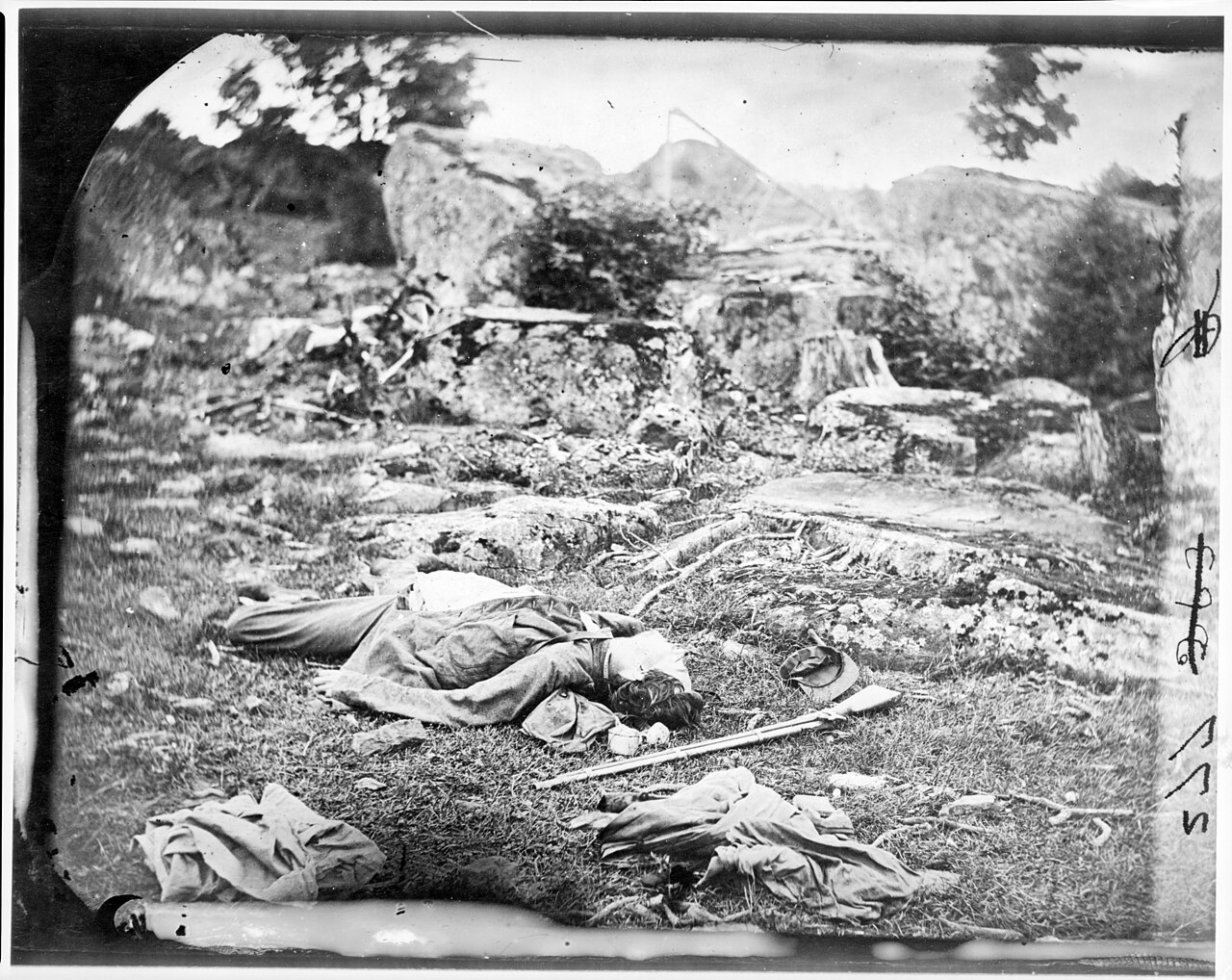
Source: Library of Congress Civil War Photographs
Overview: Devil’s Den is a natural formation of large boulders at the base of Little Round Top, situated along a triangular field that saw intense fighting on July 2, 1863.
What Happened Here: On the afternoon of July 2, Confederate forces attacked through the area around Devil’s Den as part of the broader assault on the Union left flank. The boulders and rocky terrain provided cover for sharpshooters and infantry on both sides. Union forces were eventually driven back from the lower positions around the Den, though the heights of Little Round Top were held. The area surrounding Devil’s Den — including the triangular field and the valley known as the Slaughter Pen — saw some of the heaviest casualties of the day.
Why It Matters: Devil’s Den was part of the critical fighting that tested the Union left flank on July 2. The area’s distinctive terrain made it both a defensive asset and a dangerous place to fight, and it anchored Confederate efforts to press through to Little Round Top. The outcome of the fighting here directly affected whether the larger assault on the Union left would succeed.
What Visitors Should Notice: The boulders of Devil’s Den are largely as they appeared during the battle and give a vivid sense of the terrain that shaped the fighting. The view toward Little Round Top from the base of the Den shows the steep ground Confederate forces had to ascend under fire. Interpretive markers throughout the area identify key positions and events. The triangular field to the north is visible from the Den. Confirm current access and conditions before visiting.
Visitor Note: Access, parking, trails, closures, and conditions can change. Confirm current visitor information before traveling.