The Battle of Gettysburg is best understood on the ground. The battlefield’s ridges, hills, roads, farms, fields, and stone walls shaped what commanders could do and what soldiers experienced.
Use this map to explore key locations connected to the three days of fighting. Each location includes historical context, visitor notes, and links to deeper battlefield guides.
This map is intended as an educational guide, not an official navigation tool. Visitors should confirm current road access, closures, parking rules, walking conditions, and official visitor guidance before traveling.
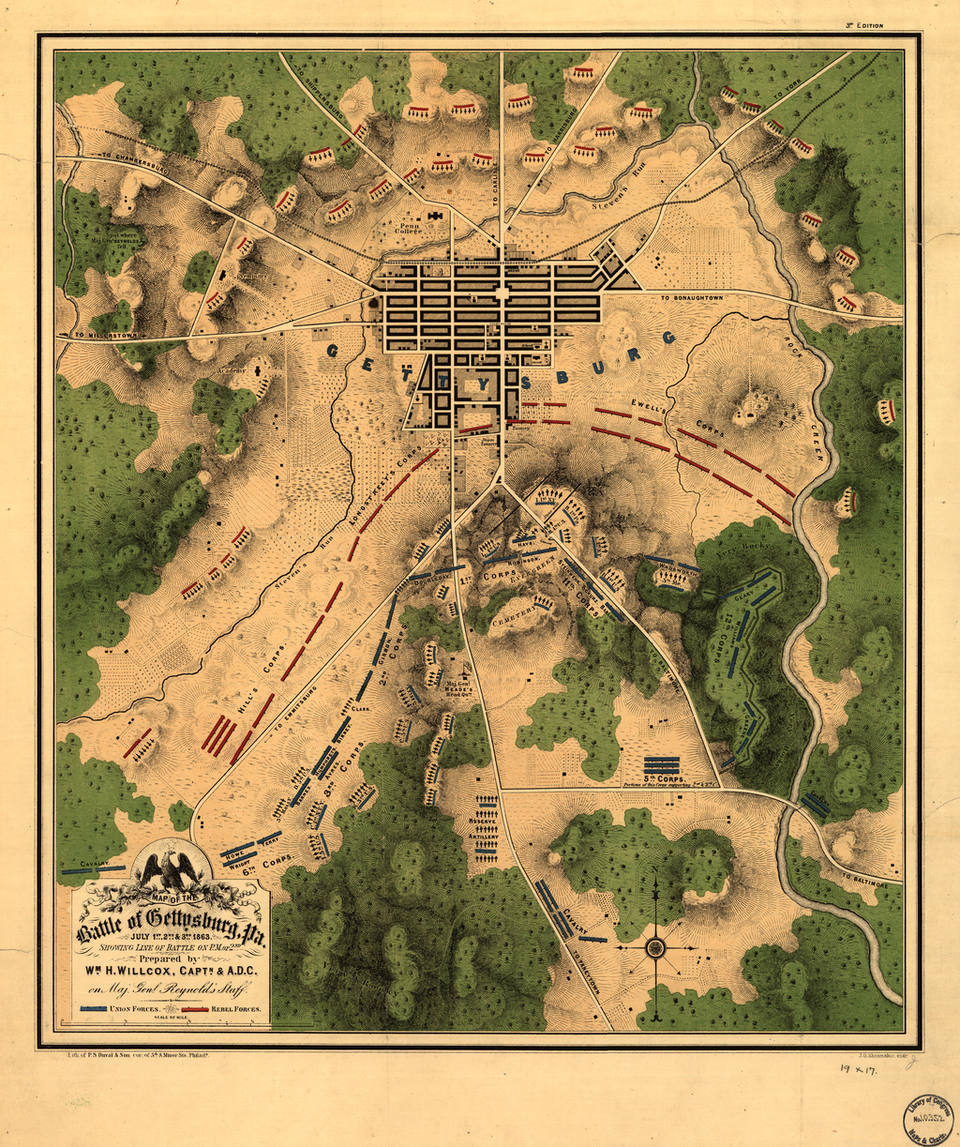
Source: World Digital Library / Library of Congress

Important ground in the opening phase of the battle on July 1, where Union forces delayed Confederate advances west of Gettysburg.
Image Source: Civil War Glass Negatives / Mathew Brady, Library of Congress
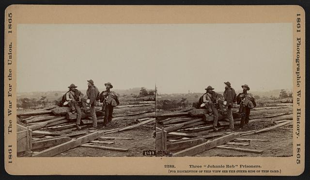
A major ridge west of town associated with July 1 fighting and later Confederate positions during the battle.
Image Source: Mathew Brady / Library of Congress Flickr Commons

A key Union position south of Gettysburg that helped anchor the defensive line after the first day.
Image Source: Library of Congress, LCCN2014646001
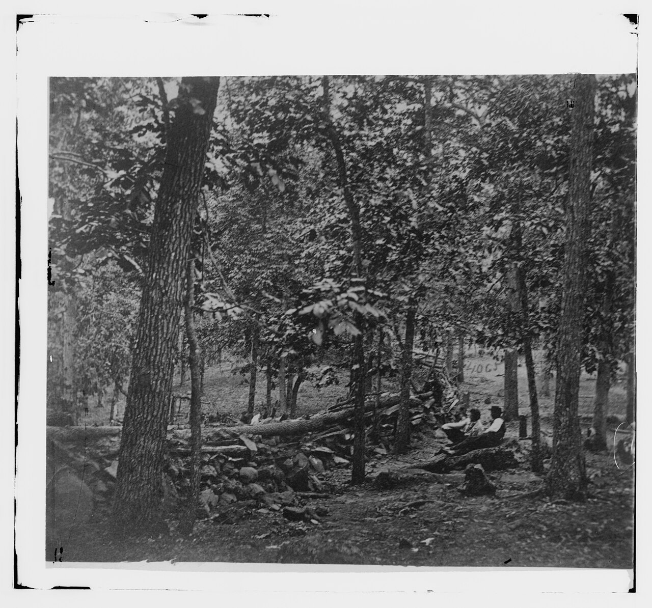
A critical part of the Union right, with important fighting on July 2 and July 3.
Image Source: Library of Congress Civil War Photographs

The center of the Union defensive line and the target of the Confederate assault on July 3.
Image Source: T.H. O’Sullivan / A. Gardner, Library of Congress, LCCN2006685383

A famous hill on the Union left, associated with intense fighting on July 2.
Image Source: Library of Congress Civil War Photographs
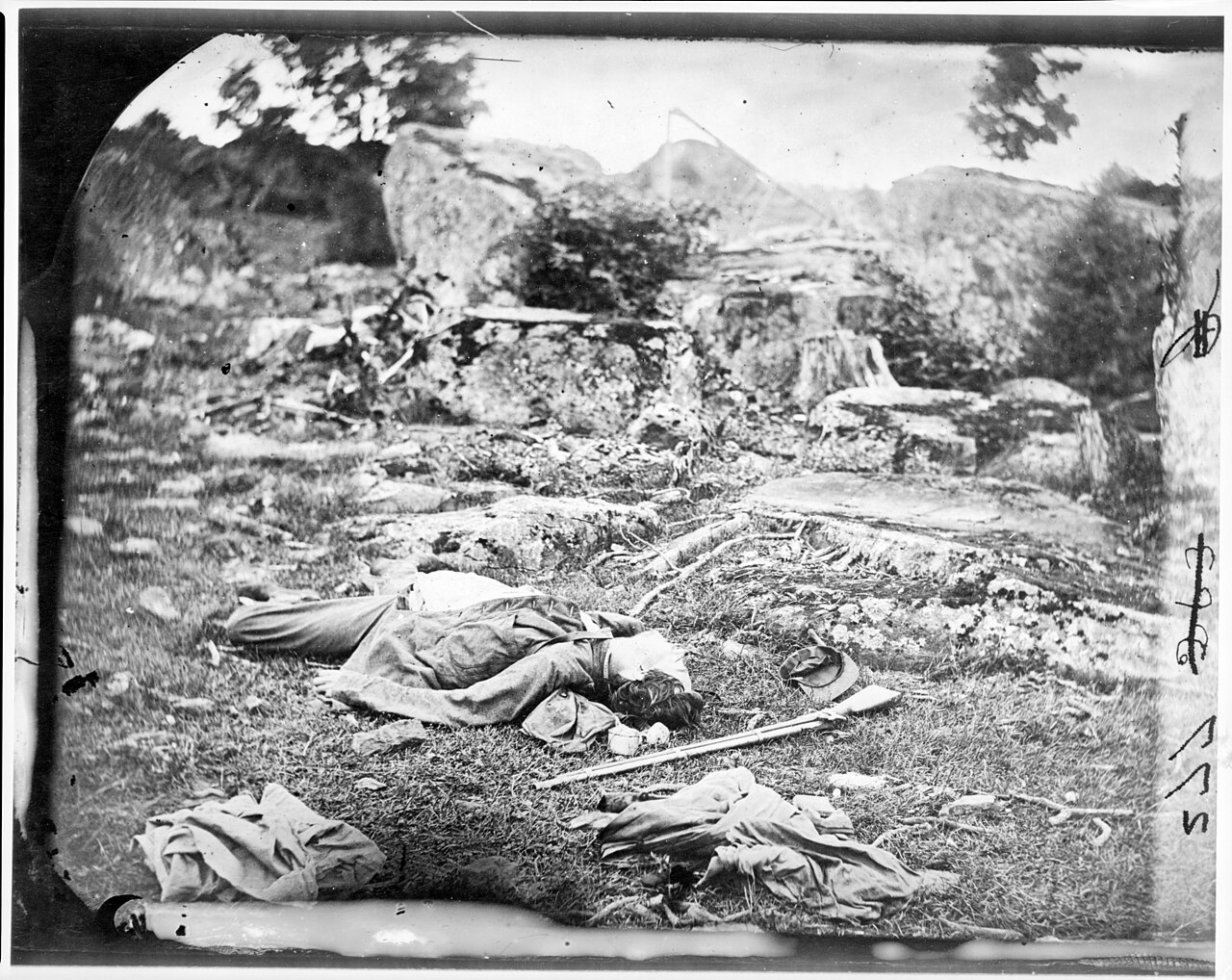
A rocky battlefield landmark associated with fierce fighting on July 2.
Image Source: Library of Congress Civil War Photographs

A heavily contested area on July 2, remembered for repeated attacks and counterattacks.
Image Source: Library of Congress Civil War Glass Negatives
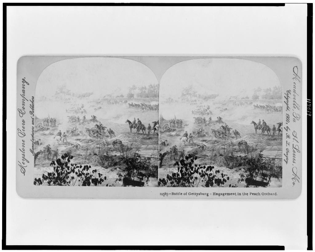
An exposed position tied to major fighting on the Union left-center on July 2.
Image Source: Library of Congress Prints and Photographs, LCCN96519692
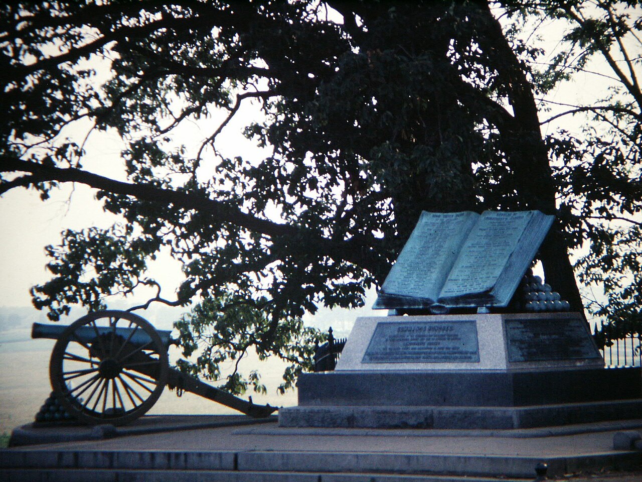
A location on Cemetery Ridge associated with the climax of Pickett’s Charge on July 3.
Image Source: Gary Lee Todd / Wikimedia Commons
Not sure where to start?
Use the one-day Gettysburg itinerary to connect the map to a practical visit.